
-

あま師におすすめの求人サイト&よくある質問【高給・年齢不問】
いつも当メディアをご覧いただきありがとうございます! 今回はあん摩マッサージ指圧師にむけて おすすめの求人サイト、就職・転職エージェント 求人についてのよくある質問と回答 についてご紹介します。 【あん摩マッサージ指圧師におすすめの求人サイト... -
あま師の独立について【年収、必要な経験、開業資金や準備等】
いつも当メディアをご覧いただきありがとうございます。 今回はあん摩マッサージ指圧師として独立・開業した2名に あん摩マッサージ指圧師で開業すれば、どれくらいお金を稼げるか、年収はどれくらいか あん摩マッサージ指圧師で開業するには、どこで、ど... -
あま師の整形外科への就職方法、給料、将来性、求人の探し方【体験談】
いつも当メディアをご覧いただきありがとうございます! 今回、あん摩マッサージ指圧師として整形外科で働いたことがある方にインタビューにお答えいただけましたので、この記事でご紹介します。 今、あま師として整形外科に就職(転職)したい方の参考に... -
あま師の就職先5つを比較【仕事内容・給料・将来性・待遇】
いつも当メディアをご覧いただきありがとうございます! 今回はあん摩マッサージ指圧師の、それぞれの働く場所の仕事内容と、給料の目安についてまとめてご紹介します。 ちなみに、それぞれの就職先について紹介した後、それぞれの職場で実際に働い... -
あま師の今後の未来も将来性のある働き方【年収500万円以上】
いつも当メディアをご覧いただきありがとうございます。 今回は あん摩マッサージ指圧師の今後の未来が不安だと言われる理由 そんな状態でも、将来性のあるあん摩マッサージ指圧師の働き方 についてご紹介します。 【あん摩マッサージ指圧師の今後の未来・... -
未経験の見習い鍼灸師を卒業後に採用してくれる求人の見つけ方
いつも当メディアをご覧いただきありがとうございます。 今回はいま鍼灸学校に在学中もしくは卒業していて、卒業後の進路に迷われている方に向けて そもそも鍼灸師の就職先で、卒業後に実務経験がない未経験の新人でも雇ってくれるところはあるのか... -
鍼灸師のよくある怪我の応急処置・予防&体に優しい転職先4つ
いつも当メディアをご覧いただきありがとうございます。 今日は鍼灸師をしていて 「よく怪我や病気をして困っている」 「怪我をしても働き続けないといけないので、お仕事をしながらでも少しは症状がマシになる方法を知りたい」 「手を壊して使い物になら... -
あま師のよくある不正(保険請求・無資格)と告発方法【匿名密告】
いつも当メディアをご覧いただきありがとうございます! 今回は、 あん摩マッサージ指圧師の業界でよく起こる法律違反 破った場合、あま師にどんな影響があるか 違法な施術所の告発方法(匿名で可能か、業務停止命令は出るのか、等) についてご紹介します... -
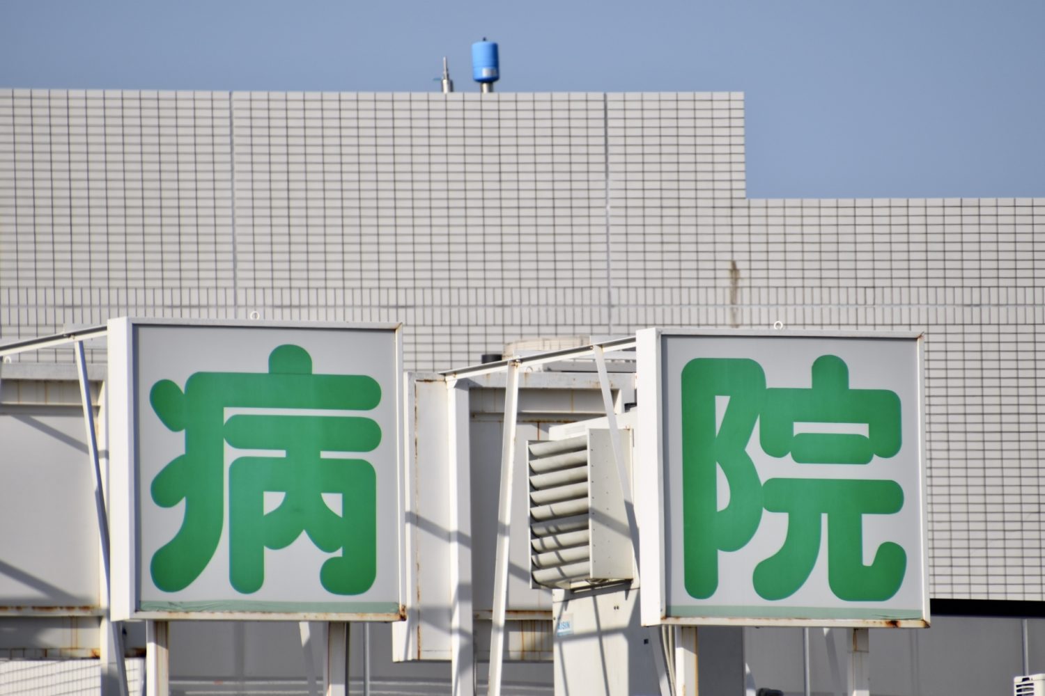
あま師の病院の仕事内容、就職方法、給料、求人の探し方、将来性
いつも当メディアをご覧いただきありがとうございます。 この記事では、あん摩マッサージ指圧師として病院に就職・転職したい方に向けて、あま師の病院(クリニック・診療所)での働き方や就職のコツ、求人の探し方等をご紹介します。 今、病院に就職(転... -
鍼灸師におすすめの求人サイト&よくある質問【未経験・年齢不問】
いつもキュアワークスをご覧になっていただきありがとうございます! 今回は鍼灸師の方に お勧めの求人サイト(就職・転職エージェント) 鍼灸師の求人のよくある質問 にお答えしようと思います。 よければ最後までお付き合いいただければと思いま...
-
【あま師口コミ】ケアキャリは都市で機能訓練指導員をしたい人におすすめ
-

柔道整復師あるある54個【大腿筋膜張筋の必殺技感は異常】
-
鍼灸師をやめてよかった?転職理由や転職先を解説!
-
未経験の見習い鍼灸師を卒業後に採用してくれる求人の見つけ方
-
新卒未経験の柔整師の就活【求人の探し方と選び方・初任給・履歴書】
-
【柔整師口コミ】キャリさぽほど情報が詳しい求人サイトは見たことない
-
整体師で儲かるには?収入や給料はどれくらい?年収1000万円になる方法も解説!
-
【柔整師口コミ】らくあ整骨院への就職はプライベート重視の方におすすめ